
Malaprabha River
Malaprabha River |
About: |
|
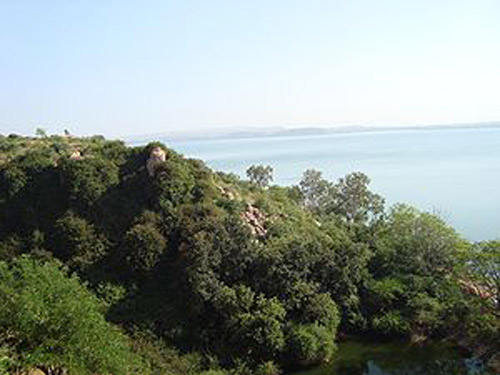
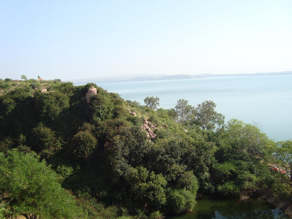
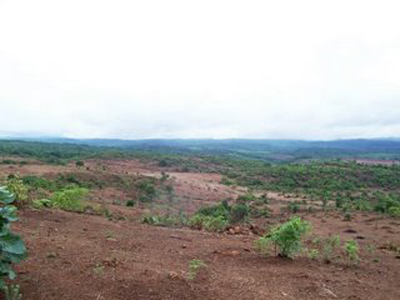
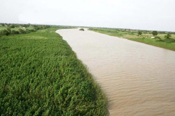
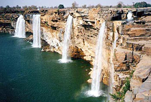
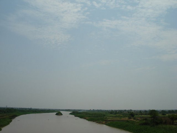
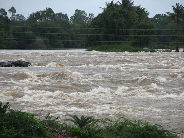
The Malaprabha River, a vital tributary of the Krishna River, flows through Karnataka, India, nourishing the land and communities along its course. Rising from the Western Ghats at 792.4 meters in Belgaum district, near the village of Jamboti, the river meanders eastward and then northeast before meeting the Krishna River at Kudala Sangama in Bagalkot district, a revered pilgrimage site. Stretching over 304 kilometers, the Malaprabha supports a catchment area of 11,549 square kilometers, playing a crucial role in regional agriculture and water supply. Major tributaries, including Bennihalla, Hirehalla, and Tuparihalla, enrich its flow, sustaining the agricultural landscapes of Dharwad and Bagalkot districts. The Navilatirtha Dam, also known as the Renukasagar Reservoir, lies near Munavalli in Belgaum district. With a substantial storage capacity of 1.07 cubic kilometers, this reservoir irrigates over 2,000 square kilometers of farmland and provides drinking water to Hubli city, underscoring its importance to the region's economy and daily life. |
Location info: |
| Address: The Malaprabha River originates in the Western Ghats at an altitude of 792 meters, near Jamboti village in the Khanapur Taluk of Karnataka's Belgaum (Belgavi) district. |
| District:Belgaum (Belgavi) District, Karnataka. |
| Nearest City:Hubli, a major urban center that benefits from the river’s water supply. |
| Best time to visit: The ideal time to visit the Malaprabha River and its surrounding areas is during the low-humidity season between November and March, when the weather is most comfortable and the scenic beauty of the region is at its peak. |
Climate/Weather: |
| ☀ Summer - March to June ☀ Spring - January to March ☀ Monsoon - July to October (significant rainfall) ☀ Winter - November to January Temperature: Ranges from 23°C to 45°C in summer and from 15°C to 29°C in winter. Rainfall: Approximately 50 cm annually. |
History: |
|
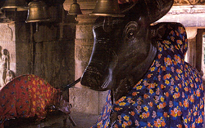
Belgaum, the divisional headquarters of North Karnataka, was historically known as Venugrama, meaning "Bamboo Village," and is also referred to as Malnad Pradesh. Halsi, the oldest settlement in the district, was once the capital of a lineage of nine Kadamba kings, as documented by ancient copper plate inscriptions. During the 6th century, Belgaum was held by the Chalukyas, who were later succeeded by the Rashtrakutas. After the Rashtrakutas' decline, the Rattas emerged in 875, establishing Venugrama as their capital by 1210. The district then saw frequent power struggles, notably between the Rattas and the Kadambas of Goa, until the Rattas prevailed in 1208. In 1250, the Yadavas of Devagiri seized control, only to be overthrown by the Delhi Sultanate in 1320. While the southern Ghataprabha River area fell under the Hindu Vijayanagara Empire, the northern region was conquered by the Bahmani Sultanate in 1347. By 1473, Belgaum came under full Bahmani rule, and in 1686, it passed to the Mughals when Aurangzeb defeated the Bijapur Sultanate. The district then changed hands several times, from Hyder Ali of Mysore in 1776 to the Peshwa, with British support, before it was ceded to the British East India Company in 1818. |
Interesting things to do: |
|
Interesting things to Visit: |
| |
Mobile range info: |
| Most major mobile network providers offer good coverage in and around Belgaum, including networks such as Jio, Airtel, and Vodafone-Idea. While urban areas and main roads generally have strong 4G connectivity, more remote areas near hills or forested regions, like Bhimgad Wildlife Sanctuary, may experience limited or spotty coverage. It is advisable to check with your provider for specific coverage details if planning to visit rural or remote locations. |
How to reach? |
| By Air: The nearest airport is Belgaum Airport, located approximately 10 km from the city center, with regular flights connecting to major cities like Bangalore, Mumbai, and Hyderabad. By Train: Belgaum is well-connected by rail, with Belgaum Railway Station (Mahatma Gandhi Railway Station) serving as a major stop. Regular trains run from major cities like Bangalore, Mumbai, and Pune. By Road: Belgaum is easily accessible by road, with national highways connecting it to Bangalore, Goa, and Pune. Karnataka State Road Transport Corporation (KSRTC) and private buses operate frequent services to and from Belgaum. By Car: For those preferring a scenic drive, Belgaum is accessible by car with well-maintained highways. The drive from Bangalore takes approximately 8-9 hours. |
Nearest Visiting places: |
| |
Nearest Petrol Pump: |
| |
Hotels/Lodge/Accommodation: |
Things to carry: |
Tips & Suggestions: |
| |
Help Line/Phone Number: |
| |

Malaprabha River Nearest Attraction |
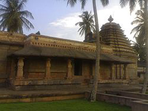
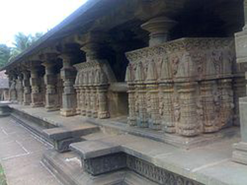
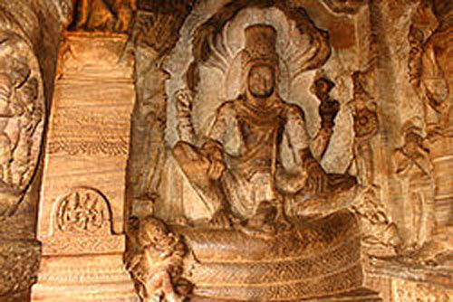
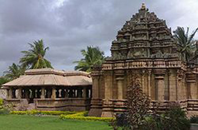
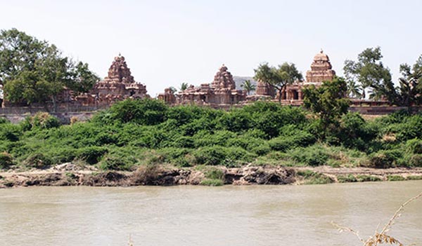
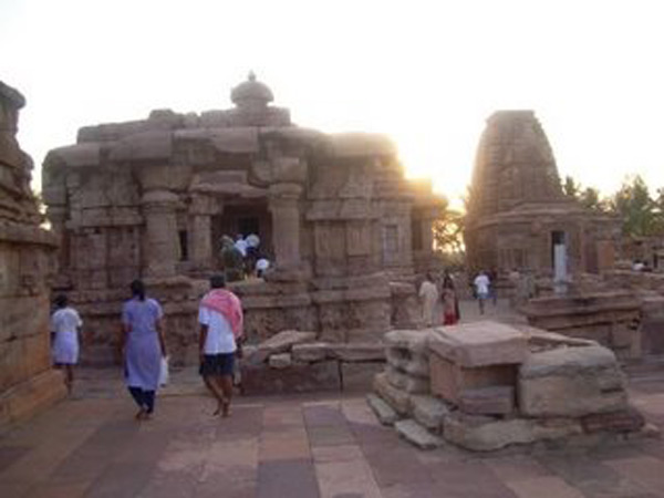
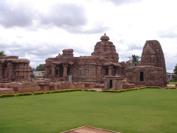
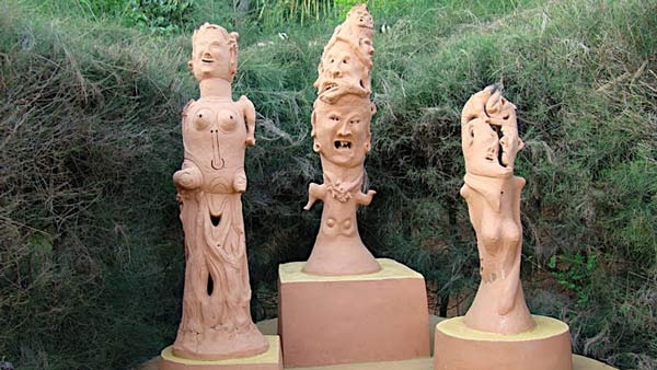
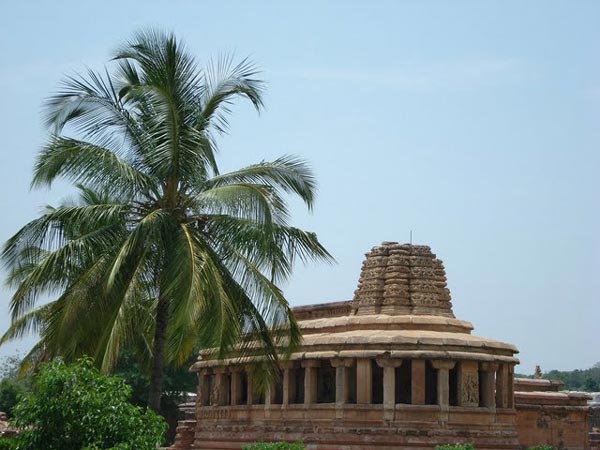
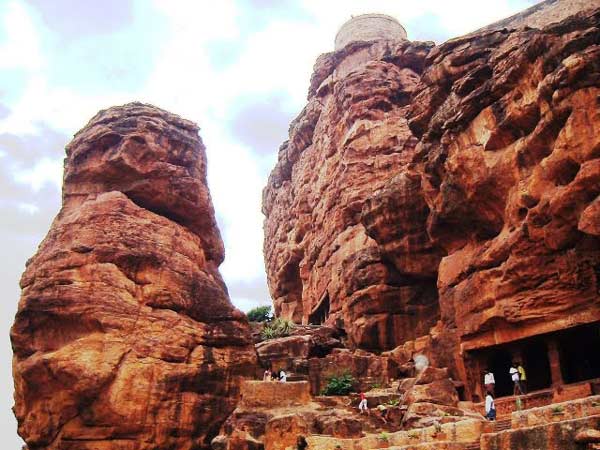
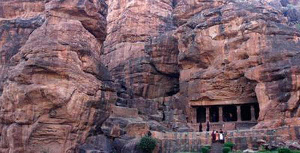
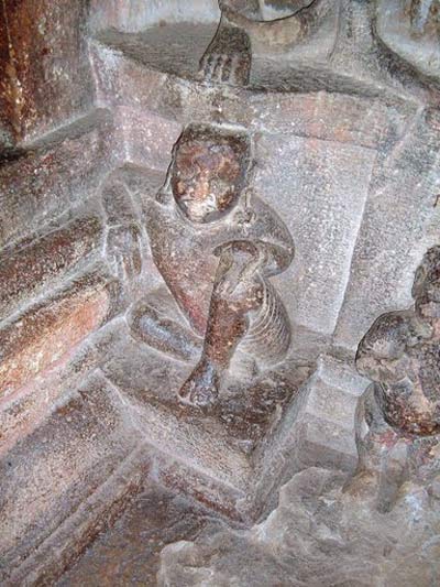
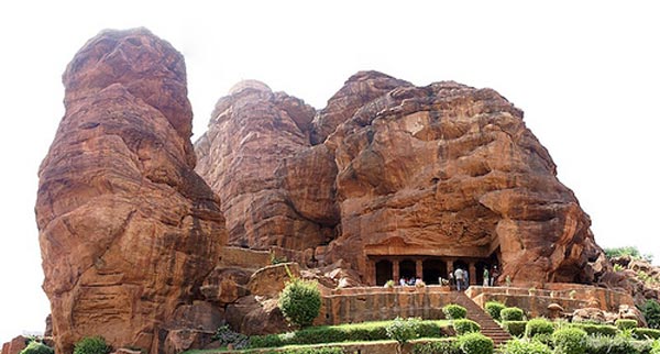
| Bijapur Archeology |
| It is one of the specially fascinating places in the South . Pattadakal and Aihole nearby are also worth seeing. Unspoiled by tourism because of bad roads and poor accommodation one should take a train to Sholapur then change to a local train via Bijapur. Hire a tonga from the station into the city to enjoy the beautiful tree-lined roads.....more |
| Bijapur Historical |
| Bijapur district is one of the largest districts in Karnataka state. Bijapur has many places of historical, cultural and architectural interest mainly related to Islamic architecture. Bijapur district is located in the northwest part of the state of Karnataka state and it is 613 km from Bangalore city.....more |
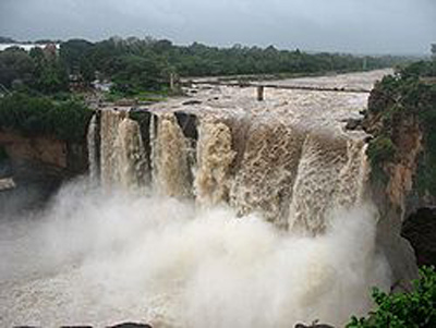
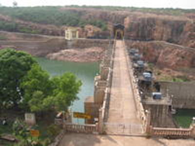
| Almatti Dam |
| Alamatti is In Bijapur district B.Bagewadi Taluk. Dam hight is raised from 509 to 519 M [ SC order on April 26, 2000 ]. Under the present scheme, Karnataka has been allocated 700 tmcft of Krishna river water.The Upper Krishna Project [ Alamatti Dam ] across the river Krishna, provides for irrigation to the drought prone areas of Bijapur, Bagalkote, Gulbarga, Raichur and Koppal Districts.....more |
SELECT YOUR HOLIDAY DESTINATION
-
Aero Sports in Karnataka
-
Archaeology in Karnataka
-
Beaches in Karnataka
-
Bird Sanctuaries in Karnataka
-
Bouldering Spot in Karnataka
-
Camping in Karnataka
-
Cave Explorations in Karnataka
-
Culturals Place in Karnataka
-
Dams in Karnataka
-
Districts Of Karnataka
-
Fairs in Karnataka
-
Festivals in Karnataka
-
Go Karting in Karnataka
-
Hill Stations in Karnataka
-
Historical Places in Karnataka
-
Holiday Resorts in Karnataka
-
Islands in Karnataka
-
Landscape in Karnataka
-
Mountain Biking in Karnataka
-
National Parks in Karnataka
-
Orbit Network
-
Para Sailing in Karnataka
-
Pilgrims Destinations In Karnataka
-
River rafting in Karnataka
-
Rivers in Karnataka
-
Rock Climbing in Karnataka
-
Safari in Karnataka
-
Temples in Karnataka
-
Trekking in Karnataka
-
Water Sports in Karnataka
-
Waterfalls in Karnataka
-
Wildlife Sanctuaries in Karnataka